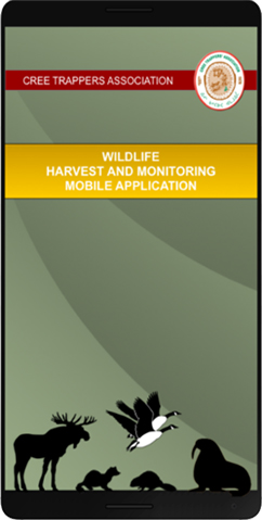
Welcome
The Cree geoportal is an online gateway to mapping resources for Eeyou Istchee. Some components of the Cree geoportal require registration. You can request a username and password from the homepage of each of the sections below.
This map provides access to a variety of geospatial layers available for Eeyou Istchee including thematic information, topographic maps and satellite images. It also provides access to important documents relevant to the geospatial layers shown on the map.
This map provides quick access to tourism related facilities and services. Community maps are based on most recent aerial photographs and contain useful information relative to community tourism infrastructure.
The Niskamoon Information Management System (NIMS) consolidates information about Niskamoon-funded projects in a geo-referenced format. NIMS is a publicly available database and includes minutes of board meetings, resolutions and policies.
This section provides access to the CTA Cabins Map Application and the Trapline Atlas. You must be a registered user with the Cree Trappers Association to access these maps. You can also use this section to access the cabins insurance form and the trapline transfer form.
Access the Outfitting Map and database, Tourism Map and Community Maps. It also facilitates access to new outfitting applications, license renewal and the to new non-Cree applications subject to the right of first refusal.
The Cree Board of health and Social Services of Jmaes Bay is responsible for the administratiob of health and social services for all persons residing either permanently or temporarily in Region 18,the adiminstrative region of the Ministry of health and Social services of Quebec corresponding to the cree territory of James Bay.
The Eeyou Marine Region Land Claims Agreement (the 'Offshore Agreement') is the result of 10 years of negotiations on the rights and obligations of the Crees adnd Canada in the offshore area of Eeyou Istchee. This are is known as the Eeyou Marine Region (EMR) or in other words, the area of the offshore that the Crees have traditionally occupied and used.
This section provides access to information related to the ATO Park infrastructure as well as a variety of geospatial layers including thematic information, topographic maps and satellite images.